Surveying in Washington since 2008
Fill the form below and we’ll do some research on your parcel and get back to you:
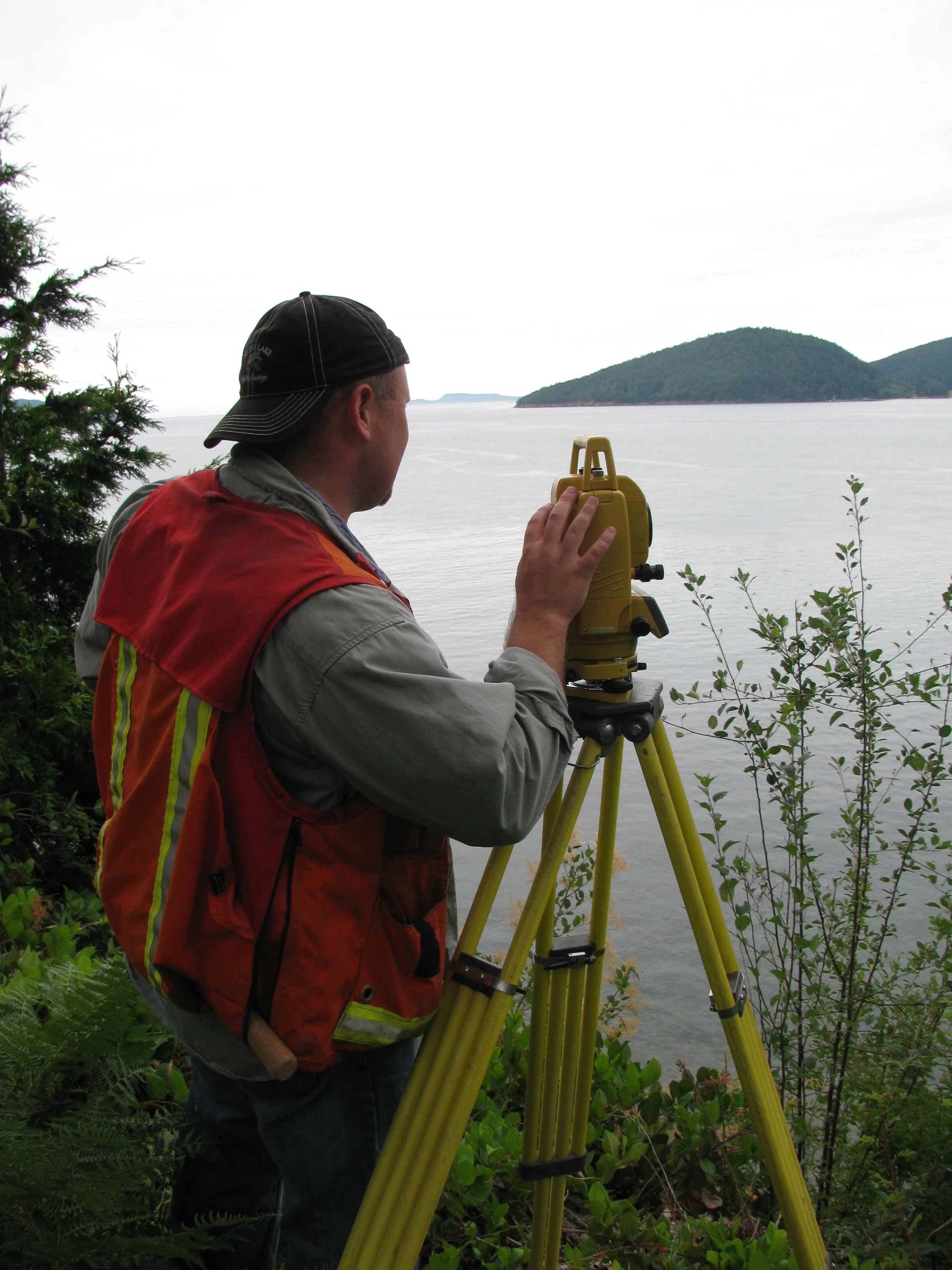
We are a small, owner‑operated land surveying company providing efficient, accurate surveying services supported by hands‑on project management.
With deep experience in both field and office environments, we serve landowners, architects, engineers, and contractors throughout the Puget Sound region—including King, Snohomish, Skagit, Whatcom, and Island counties.
Our capabilities include lot and boundary surveys, construction layout and quality control, boundary line adjustments, topographic and ALTA surveys, as well as drone mapping and laser scanning. We combine modern technology with practical expertise to deliver clear, reliable results tailored to each client’s needs.
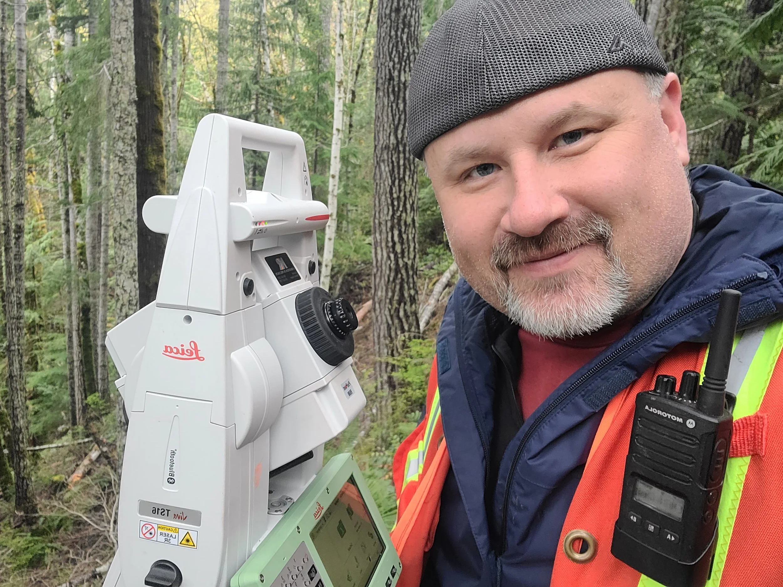
Clients trust us not only for our technical accuracy, but for our communication, reliability, and commitment to doing the job right. As an owner‑operated firm, every project receives direct attention from an experienced surveyor who understands the importance of timelines, coordination, and clear deliverables. Whether we’re supporting a complex development or helping a homeowner understand their property, we approach each survey with the same level of care, precision, and respect for the land.
Areas of Practice
boundary & lot surveys
Boundary work is the root of surveying. We can help in your project or property by providing the many decades of experience we have putting together difficult boundaries.
Plats & Unit Lot Subdivisions
We have completed many unit lot subdivision in Seattle and plats in other counties.
Condominiums
Condominium map and plans drafted and surveyed
topographic surveys
Topographic surveys can be fairly easy or complex. Utilizing sound methods in traditional survey methods— mixed with drone and GPS methods—we can create a survey that meets your needs.
drone mapping
Drones in surveys are nothing new to us. Having the experience of hundreds of jobs using this technology gives us an edge. The use of photogrammetric aerials can help in logistics, topographic and lot surveys.
GPS Surveys
Setting GPS control or utilizing it on your project requires experience . It requires being savvy with technology and having a firm grasp of geodesy.
FEMA Elevation Certificate
We provide elevation certificates and the paperwork needed for FEMA
construction layout, QC and vertical grid control
We have decades of experience in the construction industry—from civil layout, QC of project steel and bolts, and grid control on many a Seattle office tower.
Boundary Line Adjustments
Boundary line adjustments for Skagit, Island, Snohomish and King County
Short Plats
Short Plats in Island, Skagit, Snohomish and King Counties
laser scanning
Laser scanning involves as-builting a space in 3d with fast and efficient laser scanning devices. Scanning the spaces are generally easy, but to do it correctly, one must know how that data goes into BIM models and civil CAD software. And what it can and can’t do. I’ve performed laser scans from the oil fields of Alaska to San Diego, for some of the most technological architects, BIM modeling teams and construction company personnel since 2008.